
Erie topographic map
Interactive map
Click on the map to display elevation.
About this map
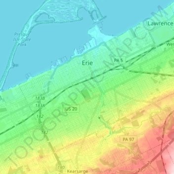
Name: Erie topographic map, elevation, terrain.
Location: Erie, Erie County, Pennsylvania, United States (42.07726 -80.13867 42.15365 -80.00351)
Average elevation: 229 m
Minimum elevation: 170 m
Maximum elevation: 395 m
Other topographic maps
Click on a map to view its topography, its elevation and its terrain.
North Springfield
United States > Pennsylvania > Erie County > Springfield Township
Average elevation: 199 m