
Carbondale topographic map
Interactive map
Click on the map to display elevation.
About this map
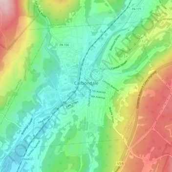
Name: Carbondale topographic map, elevation, terrain.
Average elevation: 386 m
Minimum elevation: 296 m
Maximum elevation: 538 m
Other topographic maps
Click on a map to view its topography, its elevation and its terrain.
Hubbard Mountain
United States > Pennsylvania > Lackawanna County > Scott Township
Average elevation: 503 m