

Trondheim topographic map
Click on the map to display elevation.
Trondheim
Trondheim is situated where the River Nidelva meets Trondheim Fjord with an excellent harbour and sheltered condition. The river used to be deep enough for most boats in the Middle Ages. An avalanche of mud and stones made it less navigable and partly ruined the harbour in the mid-17th century. The municipality's top elevation is the Storheia hill, 565 metres (1,854 ft) above sea level. At the summer solstice, the sun rises at 03:00 and sets at 23:40, but stays just below the horizon–there is no darkness (no need for artificial lighting outdoors) from 23 May to 19 July under cloud-free conditions. At the winter solstice, the sun rises at 10:01, stays very low above the horizon (at midday its altitude is slightly more than 3 degrees over the horizon), and sets at 14:31.
About this map
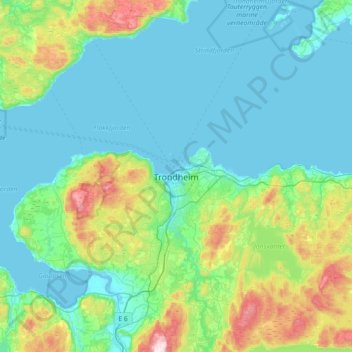
Name: Trondheim topographic map, elevation, terrain.
Location: Trondheim, Trøndelag, 7011, Norway (63.27057 10.23519 63.59057 10.55519)
Average elevation: 118 m
Minimum elevation: -2 m
Maximum elevation: 667 m