
牛角坪 topographic map
Interactive map
Click on the map to display elevation.
About this map
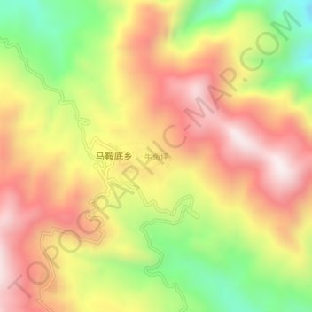
Name: 牛角坪 topographic map, elevation, terrain.
Location: 牛角坪, 金平苗族瑶族傣族自治县, 红河哈尼族彝族自治州, 云南省, 中国 (22.74936 103.50438 22.78936 103.54438)
Average elevation: 1,305 m
Minimum elevation: 854 m
Maximum elevation: 1,678 m
Other topographic maps
Click on a map to view its topography, its elevation and its terrain.