
Myanzi topographic map
Interactive map
Click on the map to display elevation.
About this map
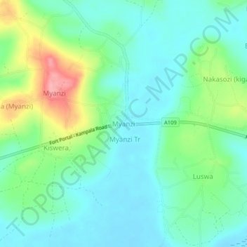
Name: Myanzi topographic map, elevation, terrain.
Location: Myanzi, Kassanda, Central Region, Uganda (0.41724 31.89096 0.45724 31.93096)
Average elevation: 1,194 m
Minimum elevation: 1,163 m
Maximum elevation: 1,274 m