
Mchangani topographic map
Interactive map
Click on the map to display elevation.
About this map
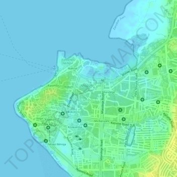
Name: Mchangani topographic map, elevation, terrain.
Location: Mchangani, Mjini, Zanzibar Urban/West, Zanzibar, Tanzania (-6.16237 39.19451 -6.15813 39.19903)
Average elevation: 6 m
Minimum elevation: -1 m
Maximum elevation: 22 m
Other topographic maps
Click on a map to view its topography, its elevation and its terrain.