
Narva topographic map
Interactive map
Click on the map to display elevation.
About this map
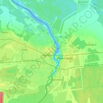
Name: Narva topographic map, elevation, terrain.
Location: Narva, Narva linn, Ida-Viru maakond, 20307, Estonia (59.33947 28.15908 59.41947 28.23908)
Average elevation: 21 m
Minimum elevation: -1 m
Maximum elevation: 71 m
Other topographic maps
Click on a map to view its topography, its elevation and its terrain.