
Obergurgl topographic map
Interactive map
Click on the map to display elevation.
About this map
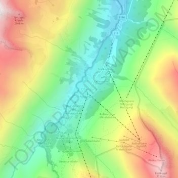
Name: Obergurgl topographic map, elevation, terrain.
Average elevation: 2,324 m
Minimum elevation: 1,797 m
Maximum elevation: 3,093 m
Other topographic maps
Click on a map to view its topography, its elevation and its terrain.
Pillersee
Österreich > Tirol > Bezirk Imst > Gemeinde Sölden > Pill
Pillersee, Pill, Gemeinde Sölden, Bezirk Imst, Tirol, 6456, Österreich
Average elevation: 2,128 m