
Láujar de Andarax topographic map
Interactive map
Click on the map to display elevation.
About this map
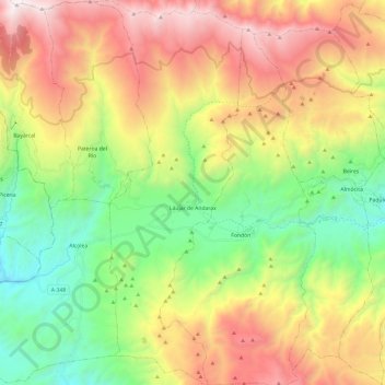
Name: Láujar de Andarax topographic map, elevation, terrain.
Location: Láujar de Andarax, Almería, Andalucía, 04470, España (36.90501 -2.95092 37.09712 -2.85894)
Average elevation: 1,404 m
Minimum elevation: 533 m
Maximum elevation: 2,605 m