
Hisār topographic map
Interactive map
Click on the map to display elevation.
About this map
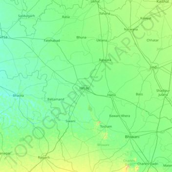
Name: Hisār topographic map, elevation, terrain.
Location: Hisār, Hisar, Haryana, 125001, Indien (28.52881 75.10611 29.80881 76.38611)
Average elevation: 220 m
Minimum elevation: 195 m
Maximum elevation: 398 m
Other topographic maps
Click on a map to view its topography, its elevation and its terrain.