
宁远堡镇 topographic map
Interactive map
Click on the map to display elevation.
About this map
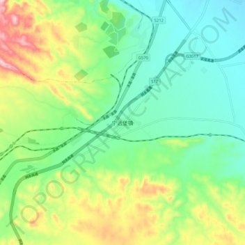
Name: 宁远堡镇 topographic map, elevation, terrain.
Location: 宁远堡镇, 金川区, 金昌市, 甘肃省, 737100, 中国 (38.40190 102.14225 38.48190 102.22225)
Average elevation: 1,663 m
Minimum elevation: 1,556 m
Maximum elevation: 1,884 m
Other topographic maps
Click on a map to view its topography, its elevation and its terrain.