
Thank you for supporting this site ❤️
Make a donation
Make a donation
Gear up for your next adventure:
As an Amazon Associate, this site earns from qualifying purchases at no extra cost to you.
A Cruz topographic map
Click on the map to display elevation.
Thank you for supporting this site ❤️
Make a donation
Make a donation
Gear up for your next adventure:
As an Amazon Associate, this site earns from qualifying purchases at no extra cost to you.
About this map
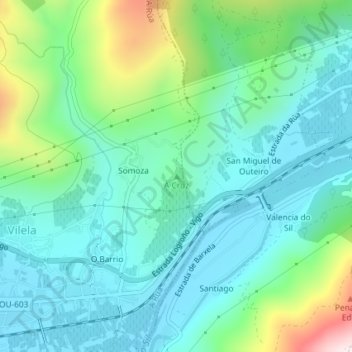
Name: A Cruz topographic map, elevation, terrain.
Location: A Cruz, A Rúa, Valdeorras, Ourense, Galicia, 32357, Spain (42.40566 -7.08755 42.40576 -7.08745)
Average elevation: 427 m
Minimum elevation: 290 m
Maximum elevation: 865 m
Thank you for supporting this site ❤️
Make a donation
Make a donation
Gear up for your next adventure:
As an Amazon Associate, this site earns from qualifying purchases at no extra cost to you.