Geolocate

Karatepe topographic map

Click on the map to display elevation.

About this map

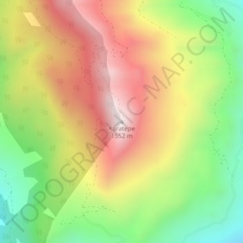
Name: Karatepe topographic map, elevation, terrain.

Location: Karatepe, Gazipaşa, Antalya, Mediterranean Region, Turkey (36.42458 32.39177 36.42468 32.39187)

Average elevation: 1,125 m

Minimum elevation: 693 m

Maximum elevation: 1,567 m

Gear up for your next adventure:

🏃Compression Recovery Socks - Reduce leg fatigue after heavy days of elevation gain
👟Lightweight Trail Runners - Agile footwear for fast movement over rugged Australian terrain
🪢550 Survival Paracord - Versatile cordage for gear repair and emergency lashing
Altimeter Watches - Watches with altitude tracking
🧦Hiking Socks - Comfortable socks for long hikes

As an Amazon Associate, this site earns from qualifying purchases at no extra cost to you.