
Chachapoyas topographic map
Interactive map
Click on the map to display elevation.
About this map
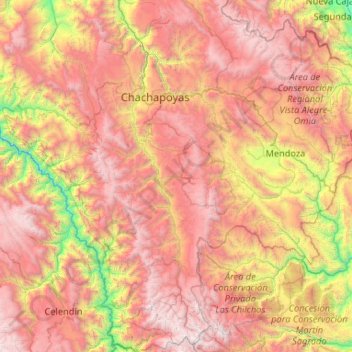
Name: Chachapoyas topographic map, elevation, terrain.
Location: Chachapoyas, Amazonas, Peru (-6.98676 -78.03815 -5.94264 -77.46898)
Average elevation: 2,451 m
Minimum elevation: 676 m
Maximum elevation: 4,265 m
Other topographic maps
Click on a map to view its topography, its elevation and its terrain.