Geolocate

Merrijig topographic map

Click on the map to display elevation.

About this map

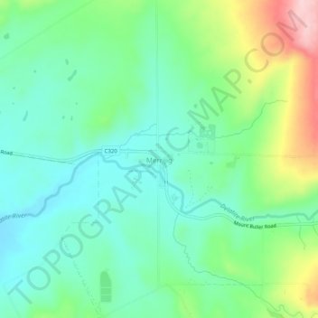
Name: Merrijig topographic map, elevation, terrain.

Location: Merrijig, Shire of Mansfield, Victoria, Australia (-37.12345 146.24302 -37.08345 146.28302)

Average elevation: 479 m

Minimum elevation: 416 m

Maximum elevation: 630 m

Victoria trails, hiking, mountain biking, running and outdoor activities

Gear up for your next adventure:

🧴Sunscreen SPF - Sun protection for outdoor activities
🔪Outdoor Multi-tools - Versatile tools for gear repair and survival tasks in the wilderness
🚴Bike GPS - GPS devices for cycling
🧭Compass - Navigation compasses for outdoor exploration
🎒Ultralight Backpacks - Lightweight packs for long hikes

As an Amazon Associate, this site earns from qualifying purchases at no extra cost to you.