
Дворище topographic map
Interactive map
Click on the map to display elevation.
About this map
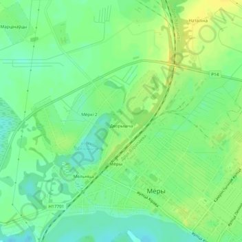
Name: Дворище topographic map, elevation, terrain.
Average elevation: 147 m
Minimum elevation: 136 m
Maximum elevation: 157 m
Other topographic maps
Click on a map to view its topography, its elevation and its terrain.
Миорки 2
Беларусь > Витебская область > Миорский район > Перебродский сельский Совет
Миорки 2, Перебродский сельский Совет, Миорский район, Витебская область, Беларусь
Average elevation: 146 m