Geolocate

Tenterden topographic map

Click on the map to display elevation.

About this map
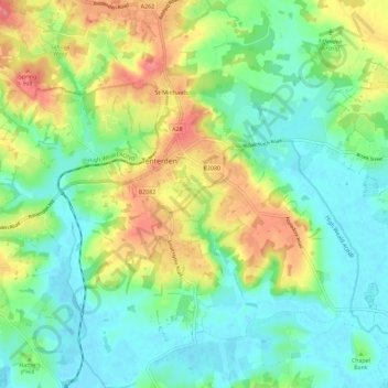
Name: Tenterden topographic map, elevation, terrain.

Location: Tenterden, Ashford, Kent, England, United Kingdom (51.02750 0.64253 51.09999 0.75704)

Average elevation: 28 m

Minimum elevation: -1 m

Maximum elevation: 78 m

Gear up for your next adventure:

🎒Daypacks - Compact backpacks for short hikes
⌛Survival Blankets - Emergency thermal blankets
🌧️Rain Jackets - Waterproof jackets for hiking
🧣Merino Neck Gaiters - Versatile headwear for warmth, sun protection, or dust filtering
🔪Outdoor Multi-tools - Versatile tools for gear repair and survival tasks in the wilderness

As an Amazon Associate, this site earns from qualifying purchases at no extra cost to you.