Geolocate

Neff topographic map

Click on the map to display elevation.

About this map
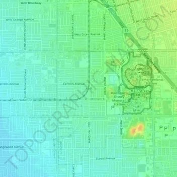
Name: Neff topographic map, elevation, terrain.

Location: Neff, Anaheim, Orange County, California, 92802, United States (33.78946 -117.95284 33.82946 -117.91284)

Average elevation: 39 m

Minimum elevation: 29 m

Maximum elevation: 58 m

Other topographic maps

Click on a map to view its topography, its elevation and its terrain.

Cars Land

United States > California > Orange County > Anaheim

Average elevation: 42 m

Gear up for your next adventure:

🦯Adjustable Trekking Poles - Reduce impact on knees when descending steep topographic ridges
📣High-Decibel Survival Whistles - Signaling tool for rescue that carries much further than a human voice
🧭Military Style Lensatic Compass - Durable sighting compasses for advanced land navigation and surveying
📚Map Reading & Navigation Guides - Master the art of interpreting topographic contours and symbols
🔦LED Torches - LED torches for outdoor use

As an Amazon Associate, this site earns from qualifying purchases at no extra cost to you.