
Жантас topographic map
Interactive map
Click on the map to display elevation.
About this map
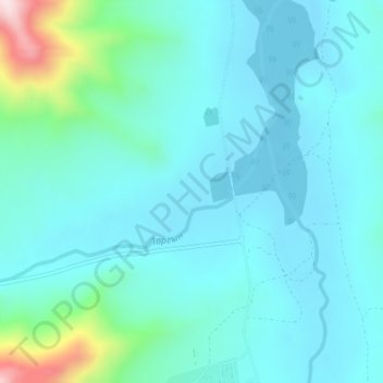
Name: Жантас topographic map, elevation, terrain.
Average elevation: 540 m
Minimum elevation: 476 m
Maximum elevation: 884 m
Other topographic maps
Click on a map to view its topography, its elevation and its terrain.
Посёлок Касыма Кайсенова
Казахстан > Восточно-Казахстанская область > Уланский район
Посёлок Касыма Кайсенова, Уланский район, Восточно-Казахстанская область, 071600, Казахстан
Average elevation: 345 m