
Velddriel topographic map
Interactive map
Click on the map to display elevation.
About this map
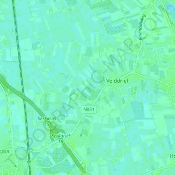
Name: Velddriel topographic map, elevation, terrain.
Location: Velddriel, Maasdriel, Gelderland, Nederland (51.74895 5.26830 51.78814 5.32859)
Average elevation: 3 m
Minimum elevation: -1 m
Maximum elevation: 8 m
Other topographic maps
Click on a map to view its topography, its elevation and its terrain.
Kanaal van St. Andries
Nederland > Gelderland > Maasdriel
Kanaal van St. Andries, Maasdriel, Gelderland, Nederland, 6624KA, Nederland
Average elevation: 4 m