
La Roche topographic map
Interactive map
Click on the map to display elevation.
About this map
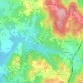
Name: La Roche topographic map, elevation, terrain.
Average elevation: 426 m
Minimum elevation: 356 m
Maximum elevation: 532 m
Other topographic maps
Click on a map to view its topography, its elevation and its terrain.
Site de Santrop
France > Nouvelle-Aquitaine > Haute-Vienne > Razès > Santrop
Site de Santrop, Santrop, Razès, Bellac, Haute-Vienne, Nouvelle-Aquitaine, France métropolitaine, 87640, France
Average elevation: 384 m