
Township topographic map
Interactive map
Click on the map to display elevation.
About this map
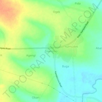
Name: Township topographic map, elevation, terrain.
Location: Township, Oyam, Northern Region, Uganda (2.22529 32.30958 2.26529 32.34958)
Average elevation: 1,053 m
Minimum elevation: 1,035 m
Maximum elevation: 1,075 m
Other topographic maps
Click on a map to view its topography, its elevation and its terrain.
Murchison Falls
Murchison Falls, Oyam, Northern Region, Uganda
Average elevation: 1,060 m