
Fraser topographic map
Click on the map to display elevation.
About this map
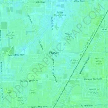
Name: Fraser topographic map, elevation, terrain.
Location: Fraser, Macomb County, Michigan, 48026, United States (42.52362 -82.97023 42.55402 -82.92908)
Average elevation: 188 m
Minimum elevation: 184 m
Maximum elevation: 190 m
Other topographic maps
Click on a map to view its topography, its elevation and its terrain.
Anchor Bay Shores
United States > Michigan > Macomb County > Chesterfield Township
Average elevation: 176 m
Saint Clair Haven
United States > Michigan > Macomb County > Harrison Township
Average elevation: 175 m
Preston Corners
United States > Michigan > Macomb County > Shelby Charter Township
Average elevation: 198 m
Sterling Heights
United States > Michigan > Macomb County > Sterling Heights > Sterling Heights
Average elevation: 205 m