
Ntinda topographic map
Interactive map
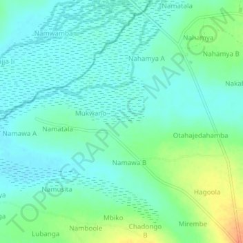
Click on the map to display elevation.
About this map
Name: Ntinda topographic map, elevation, terrain.
Location: Ntinda, Butaleja, Eastern Region, Uganda (0.97892 34.01835 1.01892 34.05835)
Average elevation: 1,082 m
Minimum elevation: 1,070 m
Maximum elevation: 1,111 m