
Lamanthang topographic map
Interactive map
Click on the map to display elevation.
About this map
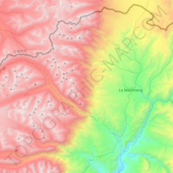
Name: Lamanthang topographic map, elevation, terrain.
Location: Lamanthang, लोमान्थाङ, मुस्ताङ, Gandaki, Népal (29.07381 83.65573 29.30326 84.00001)
Average elevation: 4,899 m
Minimum elevation: 3,226 m
Maximum elevation: 6,328 m