
托托镇 topographic map
Interactive map
Click on the map to display elevation.
About this map
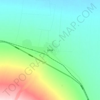
Name: 托托镇 topographic map, elevation, terrain.
Location: 托托镇, 精河县, 博尔塔拉蒙古自治州, 新疆维吾尔自治区, 中国 (44.50386 83.53610 44.58386 83.61610)
Average elevation: 410 m
Minimum elevation: 334 m
Maximum elevation: 625 m
Other topographic maps
Click on a map to view its topography, its elevation and its terrain.