
Upega topographic map
Interactive map
Click on the map to display elevation.
About this map
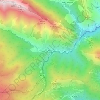
Name: Upega topographic map, elevation, terrain.
Location: Upega, Briga Alta, Cuneo, Piemonte, Italia (44.10876 7.70655 44.14876 7.74655)
Average elevation: 1,586 m
Minimum elevation: 1,131 m
Maximum elevation: 2,207 m