
San Antonio topographic map
Interactive map
Click on the map to display elevation.
About this map
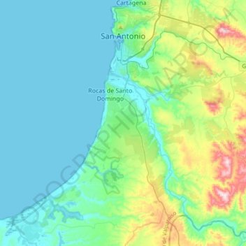
Name: San Antonio topographic map, elevation, terrain.
Average elevation: 99 m
Minimum elevation: 0 m
Maximum elevation: 505 m
Other topographic maps
Click on a map to view its topography, its elevation and its terrain.
Santo Domingo
Chile > Región de Valparaíso > Provincia de San Antonio
Santo Domingo, Provincia de San Antonio, Región de Valparaíso, 2720000, Chile
Average elevation: 92 m