
ソンクラー topographic map
Interactive map
Click on the map to display elevation.
About this map
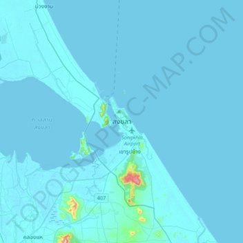
Name: ソンクラー topographic map, elevation, terrain.
Location: ソンクラー, สิงหนคร, ソンクラー県, 90000, タイ王国 (7.03734 100.43321 7.35734 100.75321)
Average elevation: 6 m
Minimum elevation: -2 m
Maximum elevation: 327 m
Other topographic maps
Click on a map to view its topography, its elevation and its terrain.