
Huxfeld topographic map
Interactive map
Click on the map to display elevation.
About this map
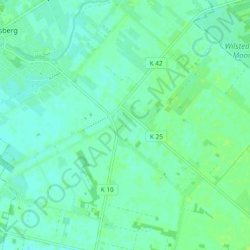
Name: Huxfeld topographic map, elevation, terrain.
Average elevation: 7 m
Minimum elevation: 3 m
Maximum elevation: 12 m
Other topographic maps
Click on a map to view its topography, its elevation and its terrain.
Seehausen
Deutschland > Niedersachsen > Landkreis Osterholz > Grasberg
Seehausen, Grasberg, Landkreis Osterholz, Niedersachsen, 28879, Deutschland
Average elevation: 7 m