
Pangai topographic map
Interactive map
Click on the map to display elevation.
About this map
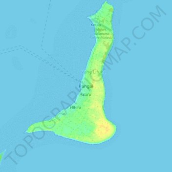
Name: Pangai topographic map, elevation, terrain.
Location: Pangai, Vahe Lifuka, Haʻapai, Tonga (-19.84546 -174.38894 -19.76546 -174.30894)
Average elevation: 2 m
Minimum elevation: 0 m
Maximum elevation: 22 m
Other topographic maps
Click on a map to view its topography, its elevation and its terrain.