
Mekla topographic map
Interactive map
Click on the map to display elevation.
About this map
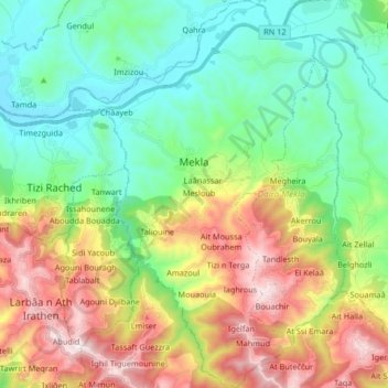
Name: Mekla topographic map, elevation, terrain.
Location: Mekla, Daïra Mekla, Tizi Ouzou, Algérie (36.61026 4.21373 36.74285 4.31973)
Average elevation: 417 m
Minimum elevation: 83 m
Maximum elevation: 1,040 m