
Bitai topographic map
Interactive map
Click on the map to display elevation.
About this map
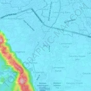
Name: Bitai topographic map, elevation, terrain.
Location: Bitai, Darul Imarah, Aceh Besar, Aceh, 23238, Indonesia (5.49247 95.28131 5.53247 95.32131)
Average elevation: 24 m
Minimum elevation: 4 m
Maximum elevation: 226 m