Geolocate

Hickleton topographic map

Click on the map to display elevation.

About this map

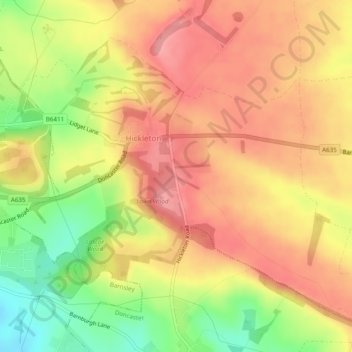
Name: Hickleton topographic map, elevation, terrain.

Location: Hickleton, Doncaster, South Yorkshire, England, United Kingdom (53.52778 -1.29381 53.55057 -1.24534)

Average elevation: 81 m

Minimum elevation: 23 m

Maximum elevation: 117 m

Gear up for your next adventure:

🩹First Aid Kits - Emergency kits for hiking
Altimeter Barometer Watches - Outdoor watches with built-in sensors to track altitude changes and weather shifts
🧊Insulated Cooler Bags - Keep food fresh for day trips to remote geographic sites
Altimeter Watches - Watches with altitude tracking
📡Weather Radios - Emergency weather radios

As an Amazon Associate, this site earns from qualifying purchases at no extra cost to you.