
北栄町 topographic map
Interactive map
Click on the map to display elevation.
About this map
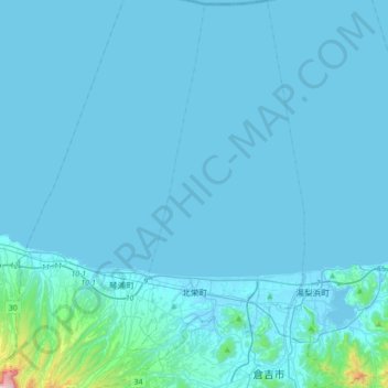
Name: 北栄町 topographic map, elevation, terrain.
Location: 北栄町, 東伯郡, Prefectura de Tottori, Japón (35.41932 133.67059 35.70337 133.85774)
Average elevation: 31 m
Minimum elevation: -5 m
Maximum elevation: 822 m