
Cookeville topographic map
Interactive map
Click on the map to display elevation.
About this map
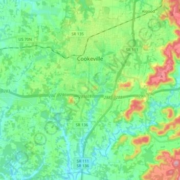
Name: Cookeville topographic map, elevation, terrain.
Location: Cookeville, Putnam County, Tennessee, États-Unis d'Amérique (36.08048 -85.59951 36.19927 -85.44160)
Average elevation: 332 m
Minimum elevation: 276 m
Maximum elevation: 483 m