
Chorente, Góios, Courel, Pedra Furada e Gueral topographic map
Interactive map
Click on the map to display elevation.
About this map
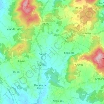
Name: Chorente, Góios, Courel, Pedra Furada e Gueral topographic map, elevation, terrain.
Average elevation: 124 m
Minimum elevation: 46 m
Maximum elevation: 301 m