
Gemeinde Ischgl topographic map
Interactive map
Click on the map to display elevation.
About this map
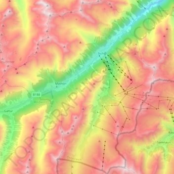
Name: Gemeinde Ischgl topographic map, elevation, terrain.
Location: Gemeinde Ischgl, Bezirk Landeck, Tirol, Austria (46.91995 10.17910 47.05245 10.35023)
Average elevation: 2,248 m
Minimum elevation: 1,208 m
Maximum elevation: 3,125 m