
La Muñeca topographic map
Interactive map
Click on the map to display elevation.
About this map
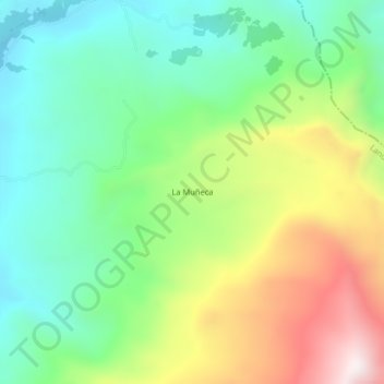
Name: La Muñeca topographic map, elevation, terrain.
Location: La Muñeca, Landázuri, Vélez, Santander, Colombia (6.43280 -73.78140 6.47280 -73.74140)
Average elevation: 559 m
Minimum elevation: 223 m
Maximum elevation: 1,154 m