Geolocate

Chichen-Itza topographic map

Click on the map to display elevation.

About this map

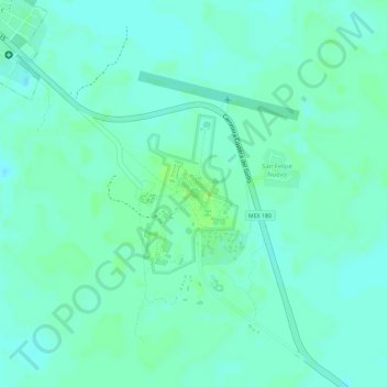
Name: Chichen-Itza topographic map, elevation, terrain.

Location: Chichen-Itza, San Felipe Nuevo, Tinum, Yucatán, Mexico (20.67788 -88.57244 20.68847 -88.56583)

Average elevation: 27 m

Minimum elevation: 22 m

Maximum elevation: 33 m

Gear up for your next adventure:

🧳Outdoor Travel Organizers - Gear organization accessories
GPS Watches - GPS watches for outdoor sports
🦶Orthotic Hiking Insoles - Extra arch support for long-distance topographic treks
🛰️Handheld GPS Units - Rugged GPS devices for tracking coordinates and elevation in the Australian bush
🎽Base Layers - Thermal base layers

As an Amazon Associate, this site earns from qualifying purchases at no extra cost to you.