
Budersberg topographic map
Interactive map
Click on the map to display elevation.
About this map
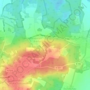
Name: Budersberg topographic map, elevation, terrain.
Location: Budersberg, Großdubrau, Bautzen, Sachsen, Deutschland (51.26554 14.47531 51.26564 14.47541)
Average elevation: 167 m
Minimum elevation: 136 m
Maximum elevation: 204 m