Geolocate

Carael topographic map

Click on the map to display elevation.

About this map

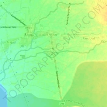
Name: Carael topographic map, elevation, terrain.

Location: Carael, Zambales, Central Luzon, 2202, Philippines (15.26193 120.01373 15.30193 120.05373)

Average elevation: 13 m

Minimum elevation: -1 m

Maximum elevation: 24 m

Gear up for your next adventure:

🌿Flora and Fauna Field Guides - Identify the plants and animals you encounter on your route
🧭Compass - Navigation compasses for outdoor exploration
🐍Australian Snake Bite Kits - Specific pressure immobilization bandages for Australian venomous snakes
🖼️Scratch-off Australia Map - Track the regions and peaks you have explored geographically
📟Satellite Messengers - Two-way satellite communication to stay in touch beyond the cellular grid

As an Amazon Associate, this site earns from qualifying purchases at no extra cost to you.