
Hrašovík topographic map
Interactive map
Click on the map to display elevation.
About this map
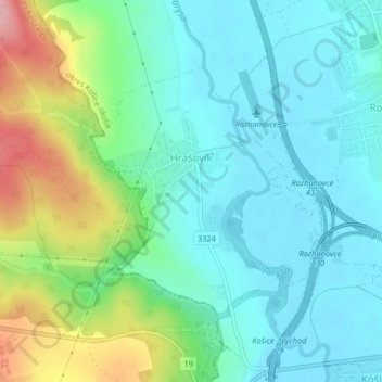
Name: Hrašovík topographic map, elevation, terrain.
Average elevation: 233 m
Minimum elevation: 190 m
Maximum elevation: 353 m
Die Gemeinde befindet sich im Talkessels Košická kotlina am rechter Ufer der Torysa. Das Ortszentrum liegt auf einer Höhe von 207 m n.m. und ist 13 Kilometer von Košice entfernt (Straßenentfernung).