
Velmolen topographic map
Interactive map
Click on the map to display elevation.
About this map
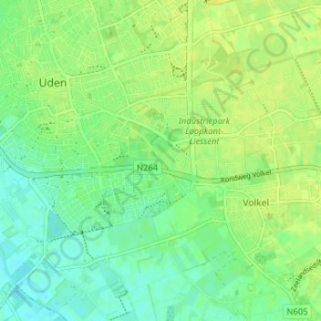
Name: Velmolen topographic map, elevation, terrain.
Location: Velmolen, Noord-Brabant, Nederland, 5405, Nederland (51.62932 5.61656 51.66932 5.65656)
Average elevation: 18 m
Minimum elevation: 9 m
Maximum elevation: 26 m