
KOROGORO topographic map
Interactive map
Click on the map to display elevation.
About this map
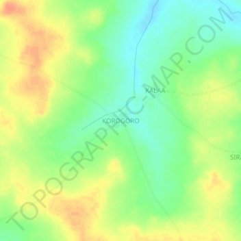
Name: KOROGORO topographic map, elevation, terrain.
Location: KOROGORO, Bougouni Cercle, Sikasso, Mali (11.91214 -7.55103 11.95214 -7.51103)
Average elevation: 351 m
Minimum elevation: 330 m
Maximum elevation: 373 m