
Айке topographic map
Interactive map
Click on the map to display elevation.
About this map
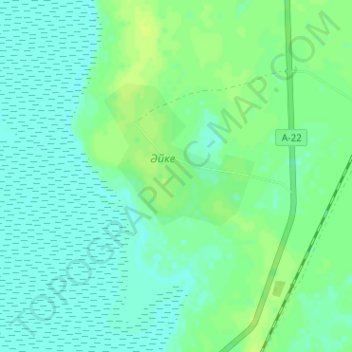
Name: Айке topographic map, elevation, terrain.
Location: Айке, Айтекебийский район, Актюбинская область, Казахстан (50.94687 61.62524 50.98687 61.66524)
Average elevation: 245 m
Minimum elevation: 240 m
Maximum elevation: 252 m
Other topographic maps
Click on a map to view its topography, its elevation and its terrain.
Село Темирбека Жургенова
Казахстан > Актюбинская область > Айтекебийский район
Село Темирбека Жургенова, Айтекебийский район, Актюбинская область, Казахстан
Average elevation: 273 m