
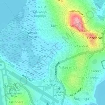
Old Entebbe Subward Airbase topographic map
Interactive map
Click on the map to display elevation.
About this map
Name: Old Entebbe Subward Airbase topographic map, elevation, terrain.
Average elevation: 1,158 m
Minimum elevation: 1,132 m
Maximum elevation: 1,260 m
Other topographic maps
Click on a map to view its topography, its elevation and its terrain.
Water
Uganda > Wakiso > Entebbe City
Water, Entebbe City, Wakiso, Central Region, Uganda
Average elevation: 1,134 m