
Umari topographic map
Interactive map
Click on the map to display elevation.
About this map
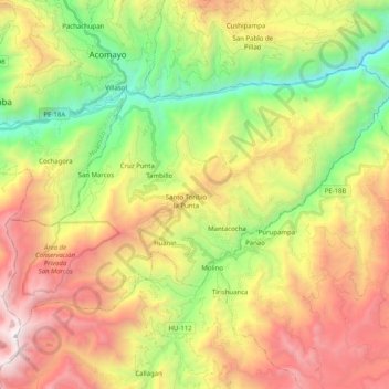
Name: Umari topographic map, elevation, terrain.
Location: Umari, Provincia de Pachitea, Huánuco, Perú (-9.94011 -76.12454 -9.80575 -75.92398)
Average elevation: 2,813 m
Minimum elevation: 1,598 m
Maximum elevation: 4,315 m
Other topographic maps
Click on a map to view its topography, its elevation and its terrain.