
Westerbroek topographic map
Interactive map
Click on the map to display elevation.
About this map
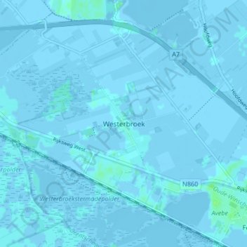
Name: Westerbroek topographic map, elevation, terrain.
Location: Westerbroek, Groningen, Nederland, 9608, Nederland (53.16403 6.66626 53.20403 6.70626)
Average elevation: 0 m
Minimum elevation: -10 m
Maximum elevation: 8 m
Other topographic maps
Click on a map to view its topography, its elevation and its terrain.
Foxholsterbosch
Nederland > Groningen > Westerbroek
Foxholsterbosch, Westerbroek, Midden-Groningen, Groningen, Nederland, 9608 PD, Nederland
Average elevation: 0 m