
Sint Maartenszee topographic map
Interactive map
Click on the map to display elevation.
About this map
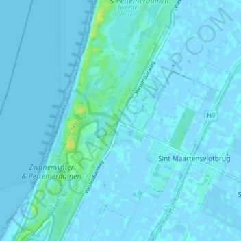
Name: Sint Maartenszee topographic map, elevation, terrain.
Location: Sint Maartenszee, Noord-Holland, Nederland, 1753, Nederland (52.77256 4.66764 52.81256 4.70764)
Average elevation: 1 m
Minimum elevation: -3 m
Maximum elevation: 16 m